CLMS Tree Tour
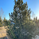
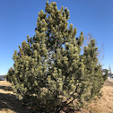
Once a tree is chosen for inclusion in the tour, take a photo of the tree using the mobile device. This will automatically create a latitude and longitude designation for that tree and allow it to be distinguished from nearby trees on on the map tool once it is posted as a spotting on Project Noah. Additional photos of distinguishing features of the tree should be taken and all tree photos should be given a number or letter designation so that photos taken on different devices can be loaded to the appropriate spotting in the classroom. This is best done by taking a photo of the ID number after each photo or sequence of photos for a particular tree. Sign in to join mission